The harbor of Kalamata
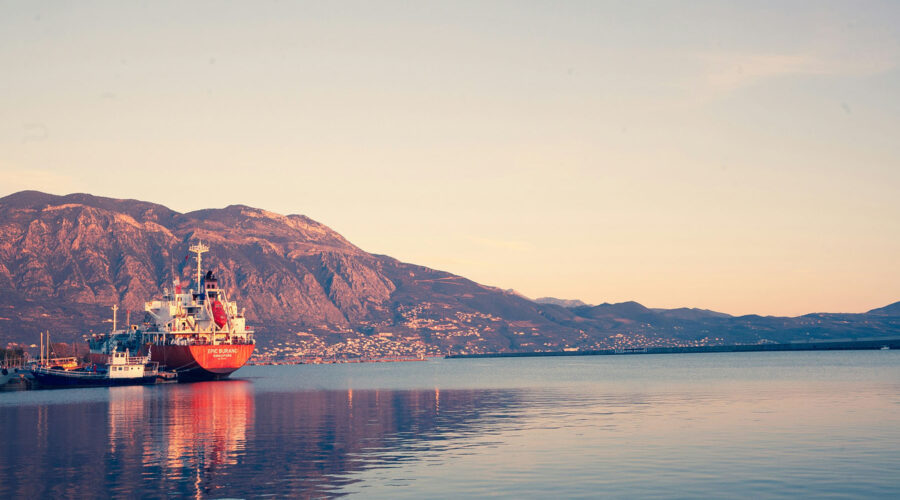
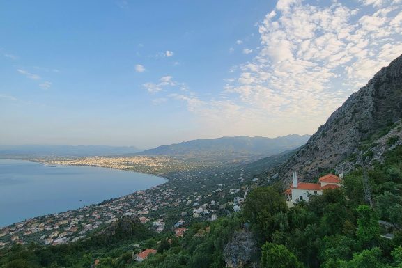
Due to its important geographical position, the harbor of Kalamata has always been a timeless source of life and activity for the city. The medium-sized artificial port is located on the northeastern half of the Messinian Gulf (37 01′ 2B- 22 07’OA) occupying a land area of 40,000 square meters. It is safe at all weather conditions ,especially when north winds are blowing. Its entrance is looking to the south- east and is 145 m wide and approximately 10 m deep. It is protected from the waves caused by the southwest, south, east and southeast winds with two breakwaters: the south one, 1,100 m long and the south-southeast one, which is 395 m long.
The port meets all European and international safety regulations and the International Ship and Port Facility Security (ISPS) Code, and has obtained certification for receiving cruise ships and mega yachts. The carrying capacity of the port facilities ensures high standards for the reception of up to 3,500 passengers. At the same time, it handles a significant portion of the imports and exports of Greece.
The Municipality of Kalamata provides garbage management for the solid waste of cruise vessels, for a low fee. The port area was initially inhabited on its western side. There, before the Greek War of Independence of 1821, warehouses, stores and the first customs office were erected. At that time, sea transport was taking place with boats and barges. In 1860, a new settlement appeared on the eastern side of the port. The construction of the port was completed in 1901.


